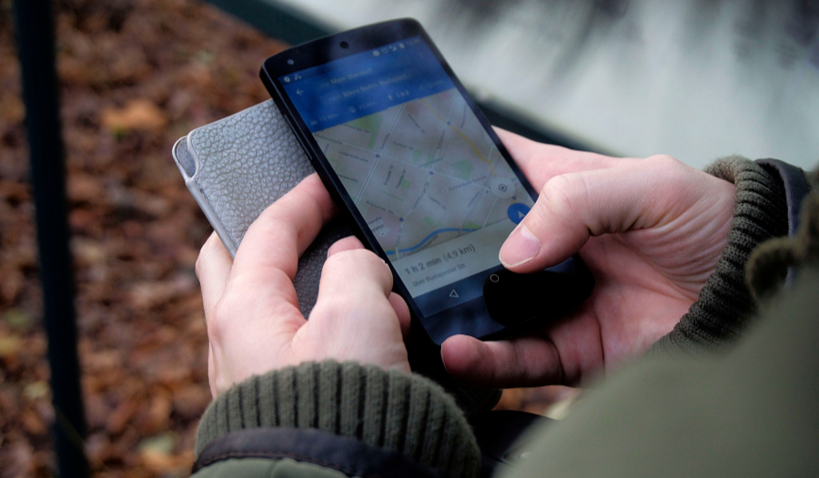
Most maps-based apps use GPS to locate and track devices. But sometimes GPS isn't available. For example, if you're in the middle of a city, skyscrapers can block your line of sight to enough GPS satellites to get a fix on your position. GPS circuits and sensors are also relatively large and power hungry, so you can't use them to track anything where size and weight are an issue.
When GPS doesn't work, you need geolocation
Instead of looking for GPS satellites, geolocation sniffs out signals from WiFi routers, mobile phone towers and beacons. By combining the strength of the various signals being detected with knowledge of where they're being broadcast from, you can calculate how far you are from each signal and triangulate to get a fix on your position. As well as working in areas where GPS coverage is patchy but there are lots of WiFi signals, like city centres, geolocation devices are also much smaller and lighter and use less power.
Which businesses use geolocation?
Businesses in many sectors across the world are taking advantage of geolocation. Here are a few innovative examples of how companies are using the Google Maps Geolocation APIs.
- Enevo, a Finnish provider of waste and recycling services, has added sensors and geolocation to waste containers. When the sensor detects that the container is full, the bin "dials home" and tells Enevo not only that there's a container in need of emptying but exactly where to find it. Instead of sending out trucks on fixed routes on fixed days, Enevo can flexibly schedule trucks to go only where they're needed – and customers get their bins emptied more quickly.
- Pod Trackers has created one of the smallest and lightest pet trackers on the market using geolocation and bluetooth. Combined with other features in Google Maps, Pod Trackers' Pod can raise the alarm if your pet strays outside a "virtual fence" and monitor your how active your pet is.
- Doctor on Demand is using geolocation to match patients with available doctors so they can be seen much more quickly. Although consultations are provided by video, geolocation is vital, as it ensures patients are only connected with doctors licensed to practice in their area. It also allows doctors to send prescriptions to pharmacies local to the patient for pick up.
Working with a Google Maps Premier Partner
A Google Cloud Partner like Ancoris can help you apply the power of Google Maps to solve current business challenges and develop new digital models using location-based services.
We’re not only a Google Maps Premier Partner but have achieved Google’s Location-Based Services Partner Specialisation. This means we’ve demonstrated both technical proficiency and proven success in building and managing applications using the best of Google Maps Platform and Google Cloud Platform in both web and mobile environments.
If you’d like to find out more about how we can help you, why not take a look at some of our customer success stories or talk to the experts in our Google Maps team.
Updated February 2021
First published August 2017